Marcel Mello | LinkedIn
Selected final essay, published 10 June 2022
Marcel is passionate about urban mobility and bicycles. He lives in Brasilia (Brazil) and is currently finishing his master’s studies in transport engineering with a data science approach.
Unraveling the Cycling City MOOC on Coursera
Brasilia is a young capital city from the sixties in Brazil. The city was planned with supersquares and monumental scale public green spaces aimed for automobiles. It is sectorial by the project which means that relatively long commuting is needed to clear up some daily chores. Meanwhile, cycling can be challenging in these automobile-oriented neighborhoods. Jane Jacobs (1961) said that to generate exuberant diversity in a city’s streets and districts some conditions are indispensable, one of them is:
“The district, and indeed as many of its internal parts as possible, must serve more than one primary function; preferably more than two. These must ensure the presence of people who go outdoors on different schedules and are in the place for different purposes, but who are able to use many facilities in common.”
Brasilia has different roles concentrated in the same sectors. It provokes a pendular movement of traffic towards the city center, twice a day. A majority of people go from their districts in the morning and return in the evening, mostly at the same time. The public transportation service can not handle this amount of people, neither the infrastructure. In this way, commuting for work or study can consume one, two, or even three hours a day. Where could cycling enter into this discussion?

Initially, mobility is an important discussion for the right to the city and accessibility can be defined as the number and the diversity of places of activity that can be reached within a given time limit (Bertolini & le Clercq, 2003). There is much to be gained by striving for synergy rather than competition in the contribution of different transport modes, including non-motorized ones, to enhancing accessibility. Furthermore, an essential condition to the achievement of such synergy is the fine-tuning of the supply of mobility, as provided by the transport system, and the demand for mobility, as originated by different land-use patterns, according to the same authors.
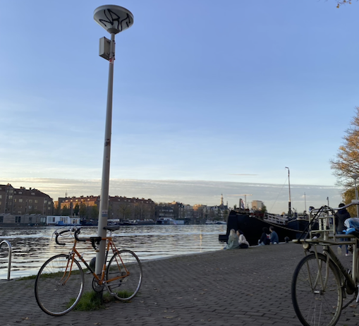
Thereby, a non-motorized way could be adopted to mitigate this reality. Cycling is constantly increasing in the capital and as an active mode of transportation holds the potential to reduce traffic congestion and air pollution, and to promote an active lifestyle which in turn improves public health (Vanparijs et al 2015). Brasilia has around 550 kilometers of cycle paths (Semob, 2020) but unfortunately, it is a disconnected web. A lot of activities are located in the center city: governmental, work offers, leisure, education. Nevertheless, there are larges distances without adequate infrastructure for cycling to get there from other districts. A lack of a good infrastructure linking the systems safely discourages people from cycling: there are plenty of discontinuities.
Combined with a deficient bicycle lane infrastructure, such extensive use contributes to a considerable number of crashes involving cyclists (Bacchieri et al., 2009), a great part of the fatalities in Brasilia is observed in these connection zones between districts. Moreover mostly in high-speed national (or regional) highways that cut the city, where there is an insufficiency of infrastructure for active mobility.
Figure 2, in the sequence, shows a Brasilia map indicating the cycle paths. It works like islands, into the district, and not connecting others regions close by.

Although, cyclist’s perception of safety is also extremely important beyond the functional traffic perspective, using only serious injuries and deaths as indicators. Feeling safe and comfortable is crucial to the large use of the facilities. A more qualitative, user-centered, and human approach can be extremely valuable from this perspective. A more holistic approach would involve cycling; a more comprehensive urban design strategy would make that experience delightful as well as safe (Ann Forsyth & Krizek, 2011).
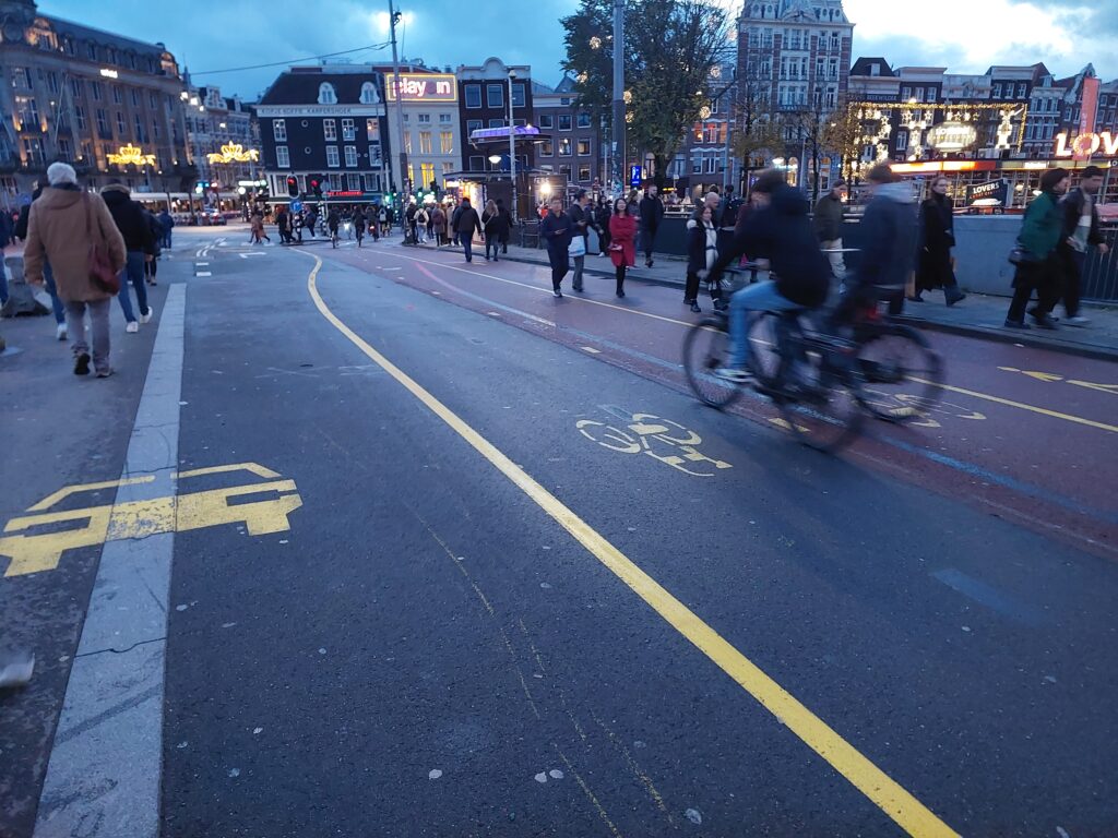
Regarding safety, it is dangerous to go from some districts to the downtown, Plano Piloto district (airplane shaped), even at a close distance (< 5km) due to the high-velocity avenues linking these neighborhoods, with automobiles speed limit by 70 km/h or sometimes, 80 km/ h. And usually, cars travel above this limit. There are no cycle facilities between these places. Ivan Illich (1974) said that high speed is the critical factor that makes transportation socially destructive. Furthermore, once traffic speeds exceed approximately 15 mph (24 km/h), roads become the monopoly of motorized traffic, effectively excluding other users such as pedestrians and cyclists (Nello-Deakin, 2019). The city or a particular area is more equitable the lower its street speed limits are. Moreover, it is important the idea of a mobility commons, moving apart from a mentality of competition between modes (Nikolaeva et al. 2019).
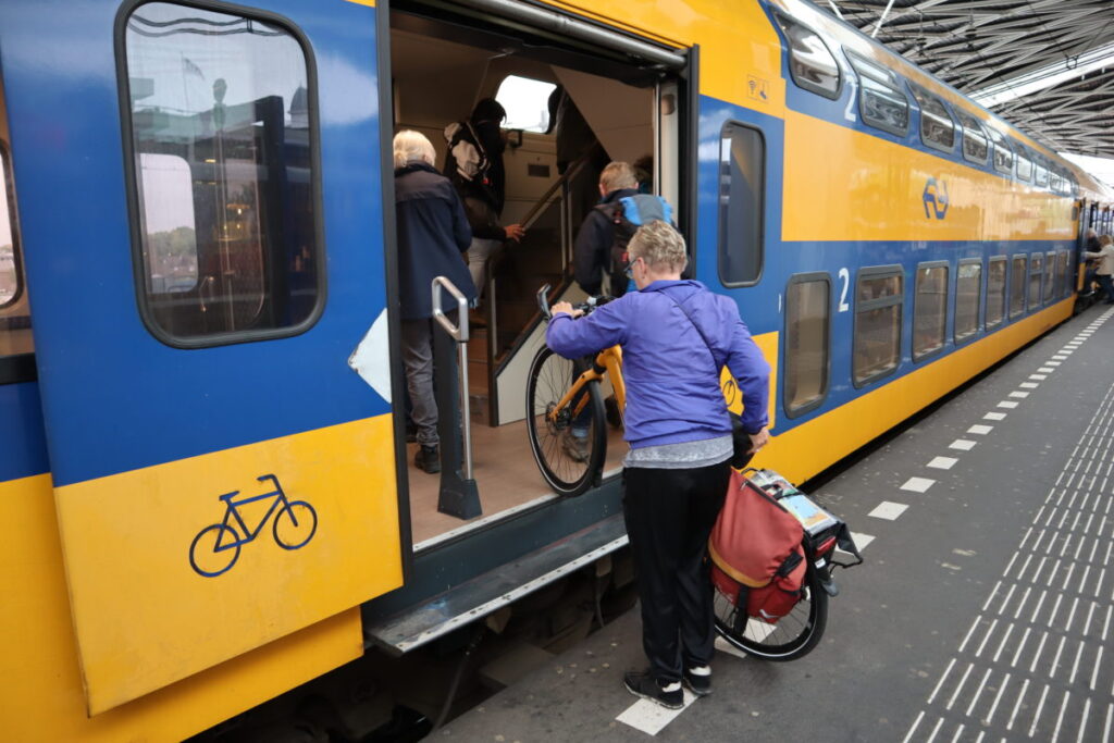
An option for safe access to the central area by bicycle is using the metro as multimodal travel. Integration of both modes should aim to tightly connect the strengths of each mode (speed and efficiency on long distance for transit vs. speed and flexibility on short distance for cycling) with the opposite weaknesses of the other mode (intrinsic low door-to-door accessibility of transit vs. limited action radius of cycling (Kager & Harms, 2017). Figure 3, below, shows how bicycling can increase the possibility to reach more areas, cycling can cover 3 times more distance comparing to walk, it expand accessibility, and make public spaces liveliness.

Unluckily, the metro service in Brasilia has only two lines, in the same track most of the route. Therefore, it does not meet the demand for commuting towards the center for regions outside this line. Additionally, it is only possible to enter with the bike into the last wagon train and only if it does not have more than five bicycles. At peak hours it is quite tough to enter with one.

Finally, according to Marco te Brömmelstroet (Urban Cycling Institute), because of this mutual influence, cities and regions co-evolve into certain path dependencies where, for instance, more cars lead to large distances which leads to more cars. And that the strategies to cope with this reciprocal relationship need to take into account both the land use and mobility system.
In Brasilia, the relationship is complex and has different temporal rhythms, a specific approach for different district interaction, land use, and density would be a solution, considering the general pendular movement. Also, another key could be the implementation of cycle highways linking the regions. The city has large distances but also big green public spaces. The design of cycle highways is flexible and can be adapted depending on environmental context and spatial constraints (Liu et al., 2019).
A safe and quality active mobility system is highly possible. Unraveling the Cycling City is a most seek knowledge for a city more human and active.
Sources
- Ann Forsyth & Kevin Krizek (2011) Urban Design: Is there a Distinctive View from the Bicycle?, Journal of Urban Design.
- Bacchieri et al. (2009) Cycling to work in Brazil: Users profile, risk behaviors, and traffic accident occurrence. Accident Analysis & Prevention.
- Bertolini, L., & le Clercq, F. (2003). Urban development without more mobility by car? Lessons from Amsterdam, a multimodal urban region. Environment and Planning A.
- ITDP Brazil, MobiliDADOS (2021)
- Ivan Illich (1974) Energy and Equity.
- Jane Jacobs (1961) The Death and Life of Great American Cities.
- Kager, R., & Harms, L. (2017). Synergies from improved bicycle-transit integration Towards an integrated urban mobility system. International Transport Forum.
- Liu, G., te Brömmelstroet, M., Krishnamurthy, S., & van Wesemael, P. (2019). Practitioners’ perspective on user experience and design of cycle highways. Transportation Research Interdisciplinary Perspectives.
- Nikolaeva et al. (2019) “Commoning Mobility: Towards a New Politics of Mobility Transitions.” Transactions of the Institute of British Geographers.
- Samuel Nello-Deakin (2019) Is there such a thing as a ‘fair’ distribution of road space?, Journal of Urban Design
- Semob – GDF (2020) Brasilia’s Active Mobility Plan.
- Vanparijs et al. (2015) Exposure measurement in bicycle safety analysis: A review of the literature. Accident Analysis & Prevention.