Barbara Sula | LinkedIn
Selected final essay, published 28 October 2020
Barbara is an Architecture and Urbanism student interested in urban mobility and sustainability. She is passionate about urban issues and intends to work with urban design and active mobility to improve people’s lives within cities.
Unraveling the Cycling City MOOC on Coursera
The São Paulo cycle network has recently gained numerous new routes which significantly increased the number of daily cyclists. However, the construction of so many kilometres was not entirely accompanied by good quality or any quality at all. Furthermore, it is not only the quality and safety of the roads that jeopardizes the adhesion to the bicycle in the city of São Paulo, but also the non-existence of a network aligned with the social structure of movement within the territory. The proposed point for the discussion is whether the city’s strategy for bicycle deployment follows a rationale compatible with the urban dimension and whether the guidelines proposed in both the Strategic Master Plan (PDE 2014) and the Mobility Plan (PlanMob 2015) are consistent with the existing dynamics.

According to the Traffic Engineering Company (CET), São Paulo now has 504 km of roads with permanent cycling treatment, 473.7 km of highway/bike lanes and 30.3 km of cycle routes. It is undeniable that the major investment made until 2016 was fundamental and crucial to encourage two-wheeled transportation among the population, but cycling is far from being part of a national habitus, as described by Giselinde Kuipers (2012).
To better understand the transport logic of the city of São Paulo, it is necessary to understand that the city highly concentrates the job supply in central regions and housing in peripheral regions. The result is an exorbitant migration towards the centre on a daily basis. This is one of the main reasons for encouraging the development of local centres or hubs in the PDE (2014).

Land use is an important factor in boosting the use of bicycles. In Amsterdam, public policies encourage the concentration of large offices and regional establishments around transport nodes (Bertolini, le Clercq 2003). Incentives for small establishments in the central area, instead of large retailers on the outskirts, are offered. The development of mixed-use neighbourhoods is encouraged.
However, the urban dynamics of São Paulo cannot be compared to Amsterdam due to its much larger scale —12 million inhabitants and 1.521 km². Heinen (2011, 23-30 Pud Lucas Harms, Luca Bertolini, Marco te Brömmelstroet, 2014) gives an extensive overview of the spatial context variables that influence cycling, with the density of the built environment and the diversity of urban functions being particularly important (Pucher and Buehler, 2012, 13; Nielsen et al., 2013; Heinen, 2011, 25 Apud Harms, Bertolini, te Brömmelstroet, 2014). Therefore, when we think about how to use a bicycle as a mode of transport in São Paulo, we must encourage land uses similar to those in Amsterdam in order to create distances consistent with the bicycle usage.

One key element of the São Paulo Mobility Plan is the importance of the Structural Bicycle Network, which includes connecting the centre to neighbourhoods using radial structures, as well as connecting these areas through perimeter structures (PlanMob 2015 p102). These structures are similar to cycle highways, as described in “Practitioners’ perspective on user experience and design of cycle highways (Liu, te Brommelstroet, Krishnamurthy, van Wesemael, 2019), as the intention is to connect distant points in a fast and direct way. The priority of a quick and uninterrupted trip is clear by the position of the bike facilities in the center of roadways. As a result, cyclists are completely separated from pedestrians, shops, and other street life.


When we analyze the existing cycling network, it is possible to note that most of the time the only infrastructure present on the outskirts are radial and fragmented connections with the central areas, the latter having good acceptance among users, according to the survey carried out by CicloCidade (2016): “Cyclists who evaluated the route they take on a bicycle as ‘excellent’ were practically all of them circulating in the central region”. Nevertheless, is the current design strategy the best for the city? I would say that is not.

The integration of transport modes is fundamental for the effectiveness of bicycle use in the city. Therefore, it is necessary to strengthen the cycle network within each sub-city-region. According to Van Ackeretal (2010 apud Harms, Bertolini, te Brömmelstroet 2014):
“Travel behaviour is the outcome of spatial, social and individual opportunities and constraints. The first relates to the quantity and quality of infrastructure and the built environment. The second relates to socio-demographic, socio-economic and socio-cultural factors, such as gender, age, income and ethnicity. The third includes personal socio-psychological factors like attitudes and perceptions.”
Also, Bertolini and le Clercq (2002) articulate on the sustainability of the modal division in peripheral areas, stating that they may have quality once the provision of public transport is adequate. In other words, a suitable and efficient intermodal network is required to promote the use of bicycles throughout the city. At this point, the mechanisms developed by Kager and Harms (2017) in how cycling and rapid transit integration positively affects land-use and mode use are extremely interesting as a study of the City of São Paulo.

The investment in quality and integration should be allocated especially around transport nodes, to consolidate the use of the bicycle, and not directed mainly to radially structured cycle routes linking the peripheral distant areas to the city centre. The construction of a local network not only encourages the consumption of service and local trade, but also encourages the use of the bicycle in a short distance, and is more effective in the penetration in the population’s life, which mainly resides on the outskirts.
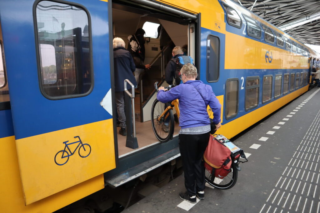
In addition, it is extremely important to guarantee bicycle space in trains and metros, as bikes are currently allowed only after 8:30 p.m., Saturday after 2:00 p.m. and all day on Sundays and holidays . It is also vital to cover bicycle stations beyond the central area, which encourages two-wheeled transportation as an initial or final part of the daily commute of millions of potential users.
Finally, São Paulo has a lot to learn from cities where cycling is part of the daily basis of many, but adapting to the context of a super metropolis is necessary. The PDE appeals to the development of centralities to minimize the large trips made every day by workers. However, this dynamic is very solid and takes a long time to come into effect, so the bicycle network should be developed with greater focus locally to ensure accessibility for all city residents, even if it corresponds to only a portion of the daily commute. Thus, the use of bicycles is encouraged and transportation becomes more sustainable, improving the city’s quality and life.
References:
- Bertolini, L., & Le Clercq, F. (2003). Urban development without more mobility by car? Lessons from Amsterdam, a multimodal urban region. Environment and Planning A, 35(4), 575–589.
- CicloCidade (2016). Relatório: Perfil de quem usa a bicicleta na cidade de São Paulo (Report: Profile of bicycle users in the city of São Paulo). Available: https://www.ciclocidade.org.br/biblioteca/pesquisa-ciclocidade/file/113-relatorio-completo-pesquisa-perfil-de-quem-usa-bicicleta-na-cidade-de-sao-paulo
- City of São Paulo (2014). Plano diretor Estratégico da cidade de São Paulo – PDE (Strategic Master Plan). Available here
- City of São Paulo (2015). Plano de Mobilidade de São Paulo – PlanMob 2015 (Mobility Plan). Available here
- Harms, L., Bertolini, L., & te Brömmelstroet, M. (2014). Spatial and social variations in cycling patterns in a mature cycling country exploring differences and trends. Journal of Transport and Health, 1(4), 232–242.
- Kager, R., & Harms, L. (2017). Synergies from improved bicycle-transit integration Towards an integrated urban mobility system. International Transport Forum. Retrieved from https://www.itf-oecd.org/file/16904/download?token=z4vbf7mZ
- Kuipers, G. (2013). The rise and decline of national habitus: Dutch cycling culture and the shaping of national similarity. European Journal of Social Theory, 16(1), 17–35. https://doi.org/10.1177/1368431012437482
- Liu, G., te Brömmelstroet, M., Krishnamurthy, S., & van Wesemael, P. (2019). Practitioners’ perspective on user experience and design of cycle highways. Transportation Research Interdisciplinary Perspectives, 1, 100010. https://doi.org/10.1016/j.trip.2019.100010
- METRO SP (2017). Companhia de Metropolitano de São Paulo. Report: Pesquisa Origem e Destino, Report: Caracterização Socioeconômica dos deslocamentos (Socioeconomic characterization of displacements). Available: http://www.metro.sp.gov.br/pesquisa-od/arquivos/Caracteriza%C3%A7%C3%A3o_Socioecon%C3%B4mica_dos_Deslocamentos_2017.pdf
- Van Acker, V., Van Wee, B., Witlox, F., 2010. When transport geography meets social psychology: toward a conceptual model of travel behavior.Transp. Rev.30(2),219-240. http://refhub.elsevier.com/S2214-1405(14)00080-2/sbref39
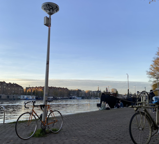
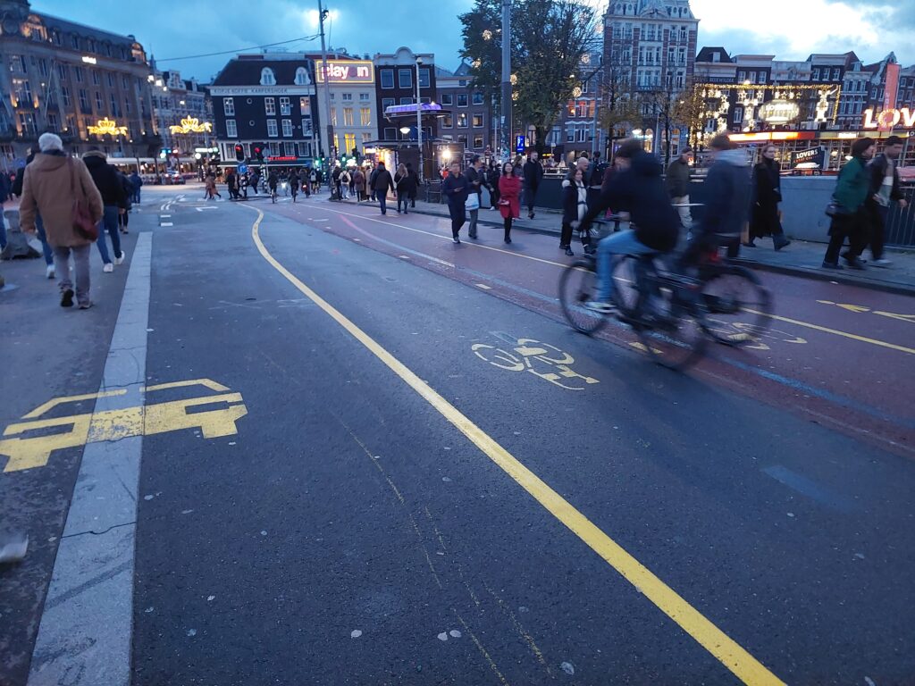
Photos in this essay by the author.